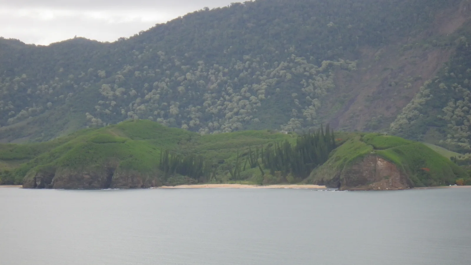
Route, distance and difficulty
The official route is a 4 km out-and-back walk from Roche Percée through Baie des Tortues to Baie des Amoureux. The official duration is about 1 hour 30 minutes.
The official tourism listing classifies the trail as Medium. Its detailed FFrandonnée grading is lower—easy for effort, quite easy technically and quite low overall—but the route still includes a very steep initial climb, further steep turns and places where falling rocks or exposed cliff edges require extra care.
Who is the trail best for?
It suits walkers who want coastal views and a compact introduction to the Roche Percée area. It is not the right choice for anyone expecting a flat beach promenade.
Allow extra time for stops, heat and the group’s pace rather than treating the official duration as a deadline.
What should you know before walking?
Use suitable footwear, carry water and check current access and weather. Stay on the marked route and respect any closure.
Do not plan swimming at Baie des Tortues. Roche Percée also has dangerous conditions and inconsistent official wording about swimming; follow signs and local instructions.
Read the outdoor safety notesHow to combine the trail
Use the walk as the main activity for a half-day around Roche Percée. Add a separate Poé lagoon stop only if transport and daylight make the day realistic.
See the one-day coastal itinerarySources & updates
Source review: 4 October 2026. Access, services and conditions can change. Confirm current details before travelling.
Official Three Bays Trail listingHow we research this guide